reGISter
your smart
personalised geoportal
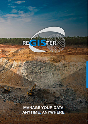
reGISter is a smart web-based system for centrally managing your data
The portal can be accessed by you and your staff anytime and anywhere via a standard web browser. You can input data, import information from data sources, and link it and make it accessible as required. Specialised information is then easy to combine and evaluate. The reGISter portal is modular. This makes it simple to add extra applications which we will be happy to tailor together to meet your specific needs.
Find out how it works!
The benefits
on the spot
IWO Software
the developers behind reGISter
Our core competence is the development of software products to digitally manage your geodata and technical information. The reGISter portal simplifies your company‘s data management procedures and has many theme-based functions to improve communications and processing. Visualisation of your data in different map types gives you the perfect overview and enhances understanding of the information.
OF MAP OBSERVER
and find out more about the reGISter Portal,
the Land Management & Advanced Land Management
You need Service & Support?
Contact one of our developers or your personal project manager directly if you have support inquiries. In addition to a web-based ticket system and email support, we also offer a telephone hotline service.
Installation
Installation on your server within your own IT infrastructure can be performed on site or remotely. Consultancy services on hardware and operating system requirements are of course available. Systems can be individually adapted to your internal IT strategies. Installation and operation on a secure reGISter Cloud server is also possible. The server is scaled according to your requirements to give you optimal performance and availability.
TRAINING
We offer a range of training packages for beginners, advanced users and administrators. We hold training courses for groups of up to ten participants. The courses take into account participant know-how and specific requirements and can be held at your premises, our premises, third-party training rooms, as webinars or video courses. Individually adapted courses according to subject area are also possible.
Support
Contact one of our developers or your personal project manager directly if you have support inquiries. In addition to a web-based ticket system and email support, we also offer a telephone hotline service.
MAINTENANCE & SUBSCRIPTION
We offer technical and software maintenance which also covers the directly connected software components, such as databases and software libraries, on your company server. We provide optimal technical integration and support. Subscription services ensure you get the latest software updates. New functions are integrated as well as technical software upgrades when changes to the environment occur, such as new browser versions or updated operating systems. Depending on the Service Level Agreement (SLA) purchased, individual upgrades such as new data fields are included in addition to more comprehensive services.
Contact us!
Info
fon. +49 212 250 851 – 0
fax. +49 212 250 851 – 17
info@iwo-group.com
Support
+49 212 250 851 – 0
support@register-geoportal.com